|
| Dark-eyed Junco, aka "snowbird" - Dayton Fishing Pond Park |
Trust the Process
It's 9 A.M., and I'm standing in a copse of trees at the Dayton Fishing Pond Park. 270 miles from home, in between two nights at a hotel. I've just found an American Dipper (the 66th species I'd found in Columbia County for the year), and then a Killdeer (67) on the edge of a frozen pond. A Red-breasted Sapsucker, extremely rare in this part of the state, had been found here recently, but I'd seen not a sign of a sapsucker. The snow is absolutely pelting down on me. I try to modify or minimize that assessment moment-to-moment, but all attempts are interrupted by more snow pelting down on me.
 |
| I swear there was an American Dipper on that rock a second ago |
And in this moment, I had a Wile E. Coyote kind of moment. One of those moments where, in the middle of an elaborate plan, it sinks in for the plan-maker that all variables may not have been accounted for. . . and maybe disastrously so. I thought of the difficulties from the day before - finding nowhere to even pull over to look for birds in Walla Walla County. French-be-pardoned here, but I was starting to come down with a deep, deep case of the fuckits.
But this was not my first snowy day of birding. I told myself to trust the process.
What is the process? Is there method to this madness?
 |
| Killdeer - the wacky bird that probably started all of this madness |
About ten years ago, I became the 28th birder in Washington State to have recorded 100 species in every county. It had been a focused effort for three or four years to get all counties up over the century mark. Another birding friend (who had just become the 10th person to record 150 species in every county) told me, "Congratulations! It'll take you just as long to get to 150 in every county..."
And I figured, if I went about it right, I could prove him wrong. I was certain that I could do it in a way that would take much longer than that! So, the 150 plan was born. For every county in the state, I am hoping to have a calendar year where I see 150 species. This is through monthly-ish visits. While I am doing a lot of research and planning. . . I mean, just look at my situation here, getting pelted by snow. . . I don't or can't plan around the weather as well as I'd prefer, sometimes.
I have met this goal in 18 of the 39 counties in the state. Some of them were done solo, and some in pairs. One year even featured a quadruple 150! But two counties seems like a good sweet spot. My two counties this year are an odd couple indeed. The record for a year list in Walla Walla County is 266 species - a number narrowly exceeded by fewer than five other counties in the state. The record for Columbia County is 172. No county record is lower, although San Juan County is tied with Columbia for this.
 |
Cedars! I often find Red-breasted Sapsuckers on these trees at home
so these instilled me with some hope |
Regardless of the county, I have enjoyed the exploration, the quiet time, and . . . the accidentals, for lack of a better term. Getting to hear the old fellas talk about UFO sightings over their morning eggs. Picking up some incidental geology, or entomology. Accepting offers to borrow a golf cart. . .
Somewhere in here, I found some hope. I hopped in my car and gave it a go in the snow.
Meteorology 101
Dayton, as it turns out, is at 1600 feet above sea level, tucked in against the Blue Mountains. Starbuck, my next destination, is at about 600 feet elevation, much closer to the Snake River. This made all of the difference. I mean, it was still snowing off and on, but it was very light.
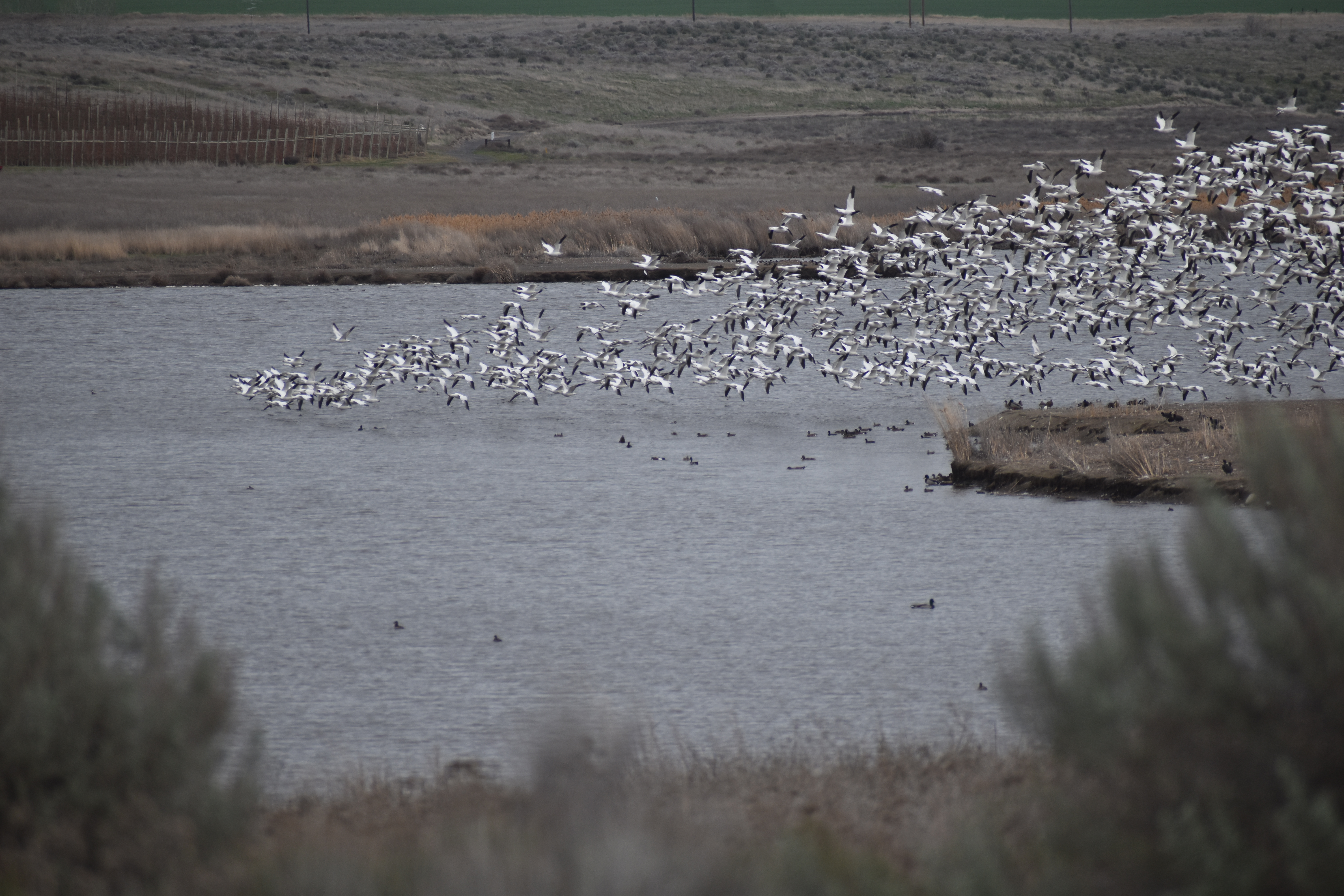
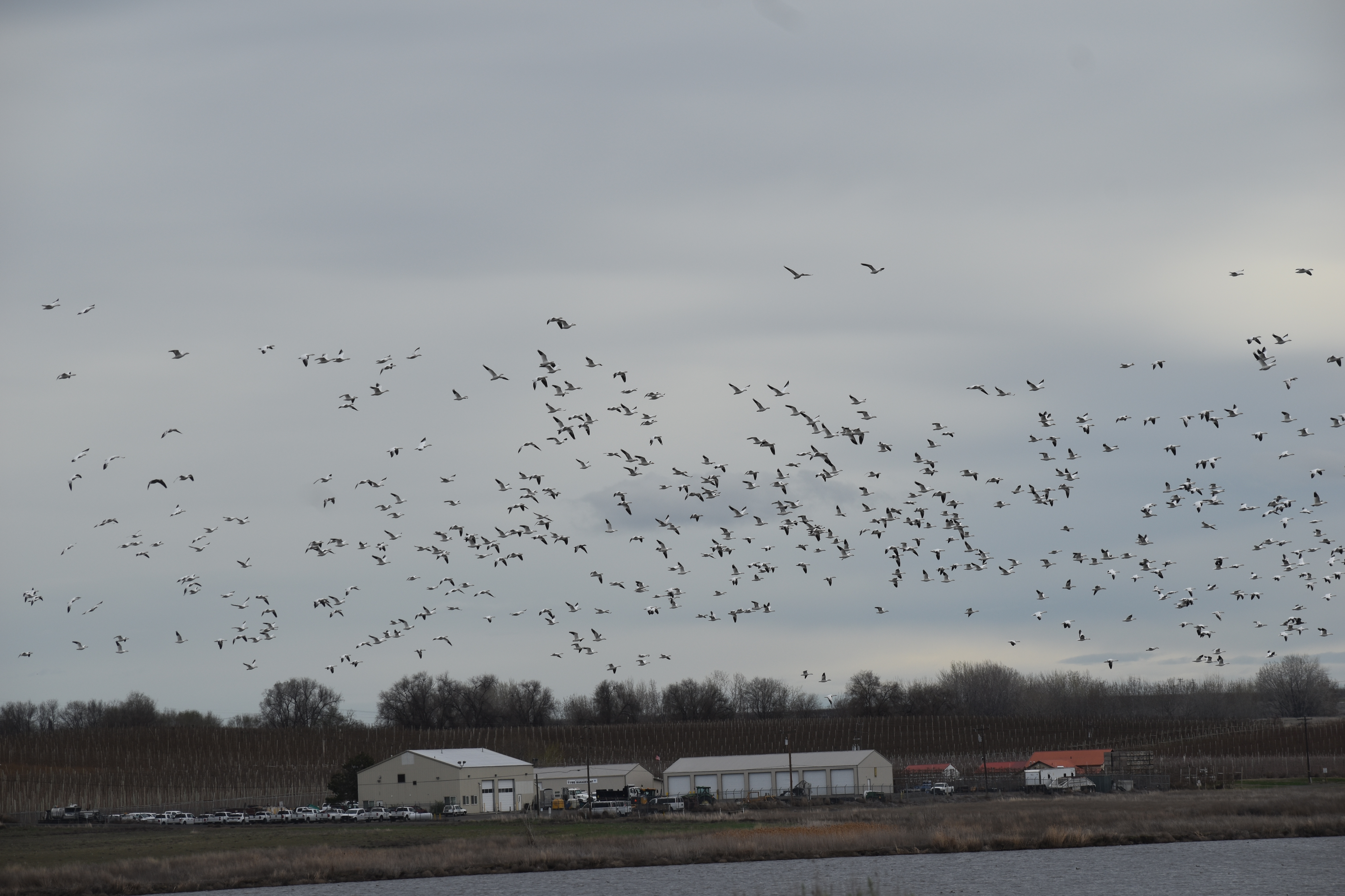
My first stop is one of the better spots in Columbia County, birding-wise. On eBird lists, it's been regularly and simply referred to by mile markers: "Highway 261, MP 6.2-6.6" is a common moniker. I'd say the good birding extends up to 6.0, but that just emphasizes the general theme. The fields here sometimes flood, bringing all kinds of waterfowl (yes! with Canada Geese and Mallards today), including shorebirds (just a few Killdeer on this day). On this particular day, their brushy edges (and perhaps snow at higher elevation) brought scads of White-crowned Sparrows.
Red-winged Blackbirds (68) were new for the year. I tried to pull some Brewer's Blackbirds out of the mix but could not. Scanning through hundreds of White-crowned Sparrows, I finally got a good look at one that was different - a White-crowned Sparrow (69!). These are tough birds in the county, and it was nice to finally have hours of sparrow sorting pay off with a single unusual sparrow.
Little Goose Dam
A drive to Little Goose Dam includes stops at other good spots nearby. I stopped at Texas Rapids HMU, where American Goldfinches and White-crowned Sparrows were singing riotously. A couple of buffleheads on the water added at least a little bit of duck diversity.
The dam itself was quiet (outside of what seems to be a resident Canyon Wren), but a little further above the dam, I came across some fun birds. Eared Grebes! (70)
 |
Dusky cheek, compact build, and a peak over the eye, rather than clearly behind the eye.
Most importantly, the lower bill narrows near the tip, giving the impression that the
bill is slightly turned upward (although it is not) |
These birds had been reported here off and on through the winter months. Not seen every year in the county, they are birds that have presented identification challenges for me at times. But a lingering Eared Grebe in a pond in Jefferson County the year before had led to some focused homework on my part, and I found that some of it actually stuck. The key that I was looking for was the bill structure. It seems like every other field mark can be tricky due to the posture, age, molt, lighting, whathaveyou of the particular bird. But birds can't really change their bill shape, per se!
So this bird checked out on the most important ID feature, as well as several others. Two tough birds in on the day, I felt some wind in my sails.
 |
| From Little Goose Dam Road |
Lyons Ferry KOA
Stopping in Starbuck, I grabbed coffee. This always feels like a treat. Yes, because of the name. But also because of the friendly folks at the store.
I scanned the left side of the freeway carefully as I drove towards the KOA. There was a pond here that had historically held some of the waterfowl that I was still missing for the year. I did spy it as I drove - entirely frozen over. Ah well!
At the KOA, it was pretty quiet. Some Dark-eyed Juncos and European Starlings were the "highlights" off of the water. On the water, a pair of Western Grebes, not a trivial species in Columbia, shared the space with a single California Gull.
Fletcher Road
With the calmer weather down at this elevation, I had some hope that Fletcher Road might be pretty drivable, and it did not disappoint. I also had some hope that Fletcher Road might be holding some American Tree Sparrows. On that point, it did disappoint. Mostly the usual suspects, although I was happy at least to catch a flock of Western Meadowlarks in flight. They usually seem to camouflage themselves so well in the lightest of groundcover.
Tucannon Road
Bluebirds? Everyone likes bluebirds. Some had been see off and on through the last few weeks up around ... Manchego? Nope, that's cheese, let me look this up. Marengo! I knew I was close. How neat to look back at old eBird records here - I'd been up this road in 2011. That was the year when I'd decided (during my 39th year on the planet) to get to all 39 counties during the year and to aim for 39 species of birds in each county during that year. So, I'd definitely driven through Marengo before and camped a little farther up the road. There are many camping options along Tucannon Road, so I'm not too surprised.
 |
| Wild Turkeys along Tucannon Road |
If anything touched on memories from a decade and more earlier, it was the feeling of enclosure. The ridges on either side of this valley are packed in a little close. As I drove these miles, I pulled over now and then, but it was always in hearing distance of the loud rush of the Tucannon River. Maybe in warmer months, the riparian habitat would be more welcome, bringing better diversity of birds. Here in February, it led to a lot of short, unproductive stops.
I eventually made it to. . . for lack of a better description, the "campgroundy" segment of Tucannon Road. Okay, admittedly it is not for lack of a better description. I'm just still early in schema-development geographically. Umatilla National Forest? WH Wooten Wildlife Area? I may have entered one or both of these. I stopped at any lake where it seemed like I could get a view - Spring, yes (and here I got my first Mountain Chickadees - 71); Blue, yes; Rainbow, no.
Unlucky, and unducky, I took the road as far as seemed reasonable, and got out to listen for other forest birds like Steller's Jay, Chestnut-backed Chickadee, or (be still my heart) Varied Thrush. Nope nope nope! None of this felt like wasted time - I loved booting up and tromping around a little in the snow. I liked getting a chance to scope things out for future visits.
And most of all, most importantly of all, I loved that it was yet another example of the wisdom, discernment, and maturity in my decision-making. No need to go farther up the road. This guy wasn't going to get stuck anywhere.
More of the same, minus wisdom and discernment, at the very least
My GPS. . . I mean, it's a 2019 Ecosport. I guess I just figure sometimes that the data on the darn thing is not that old. But time and again, it has me on roads that do not exist or believes that I am not on existing roads. As I returned down Tucannon Road, imagining that I'd need to head all the way down to Highway 12, then back to Dayton, I came across Turner Road. . .
 |
| Horned Lark - Turner Road |
I can find no source to explain or verify this, but I swear to you, in the moment, my GPS declared that Turner Road had a designated HWY number. Couldn't tell you what it was, but it engendered some trust in me. I thought, "Certainly a road with a HWY designation will give me a safe and easy drive.
Nope. No, not really at all. There had been snow, and it had melted. I was not driving through snow. Worse. It was like. . . say you took a waterslide, and then filled it with gravel, and just kept filling it with gravel until a car could technically drive on it. But in all of this, you were able to maintain its integrity as a waterslide. As I drove 1.5 miles up a hill at 10-18 miles an hour, white-knuckled and reminding myself to keep up any speed I could get, it felt like the waterslide I just described.
There was some maturity, at any rate, in the driving itself. I had the sense to keep up my speed, and the sense not to gun the gas, causing me to lose traction and. . . go down this waterslide. But it was not a fun ride. I got to the top, and recognized the same Turner Road that I'd been on in January. I had stopped somewhere around here as the roads started to get snowy. Driving it in reverse now, I was happy to see things get less snowy as I drove.
Patches appeared on the south side of the road. In one of these, I found a bird that I expected would be challenging this year - Gray Partridge (72).
I have used these words before to define the line between how I bird, and how I do not: gung-ho and hell-bent. I wonder if my GPS has picked up on my goals, and is more hell-bent than I ever will be? Maybe it was playing tricks on me to get me to some birds I would certainly have avoided? I can't say, but I was happy nonetheless to add one more check.
Dayton
Back in Dayton I quickly took advantage of restored cell service (it really doesn't exist reliably outside of dayton) and texted all interested parties, informing them of my safety. I grabbed dinner at Buckwheat Brewing and got to bed early, hoping to do some owling in the morning.